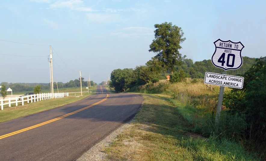
Frank Brusca's Return to Route 40
For the past fifty years, I have been visiting each of the 114 scenes in George R. Stewart’s 1953 book U.S. 40. My goal has been to document decades of landscape change. In that time, I have taken tens of thousand of photographs (35mm monochrome and slides, medium format monochrome and transparencies, digital). Rather than keeping these images unseen, I have decided to let them see the light of day.
Unlike a traditional book, I have released Return to Route 40, as a serial online edition. Every week I release at least one new chapter. There is a free edition as well as an expansive subscription version. The free edition is designed for those with a very casual interest in history of Route 40. The subscription edition is designed for those with a serious interest in the highway, George R. Stewart, U.S. 40, human geography, and landscape change. If you're unsure about which to select, you have two options, see the table below. There is also a preview of the subscription edition version for the first site chapter ("Beginnings of U.S. 40" - Atlantic City) of the free edition. Also, you can preview the subscription edition.
| Free Edition | Subscription Edition | |
|---|---|---|
| Detailed Introductory Chapters | ||
| Corresponding George R. Stewart Chapter Titles | ||
| Low Resolution Images | ||
| High Resolution Images | ||
| Watermarked Images | ||
| Non-Watermarked Images | ||
| One to Two Paragraph Descriptions | ||
| Expanded Multi-Paragraph Descriptions | ||
| George R. Stewart Field Data (Dates,Times, Filters Used) | ||
| U.S. 40 Page Numbers | ||
| Thomas & Geraldine Vales' U.S. 40 Today Page Numbers | ||
| Latitude and Longitude Location Data (Stewart, Vales, Brusca) | ||
| UTM Data | ||
| Street Addresses (if known) | ||
| Google Plus Location Codes | ||
| Google Maps (Interactive) | ||
| Google Maps Links | ||
| Bing Maps Links | ||
| Google Street Views (Interactive) | ||
| Google Street Views Links | ||
| Bing Street Side Links | ||
| USGS topo maps showing vantage point locations (for the year closest to the GRS photo date and the contemporary date) | ||
| Links to all USGS topo maps (highest scale GeoPDFs for all available years between 1940 and the article date) | ||
| Behind the Scenes Information | ||
| Additional Information (Narrative, Photographs, Postcards, Other Ephemera) | ||
| Web Links Related to the Article |
# # #